


Welcome to District Institute of Education and Training
DIET Kanchipuram
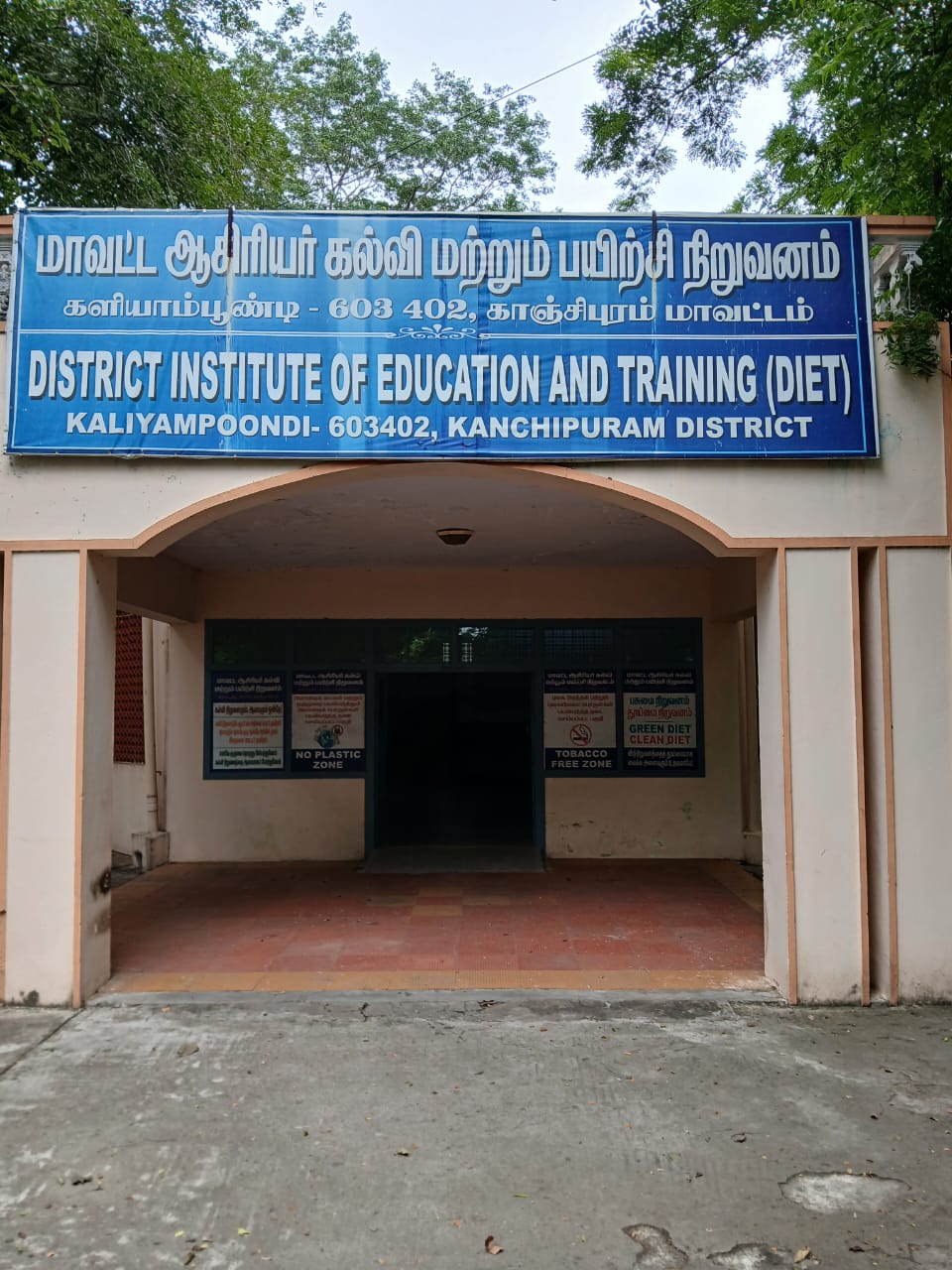
District Institute of Education and Training, Kaliyampoondi, Kancheepuram District is a government-run institute established in the year 2000. It runs under the aegis of State Council of Educational Research and Training. DIET, Kancheepuram focuses on empowering government school teachers with various pedagogical skills. The institute is equipped with modern facilities like Science labs, Audio-visual room, etc.
Departments in DIET
In-Service Field Interaction Innovation & Co-ordination
District Resource Unit
Curriculum Material Development & Evaluation
Educational Technology
Work Experience
Planning & Management
Objectives of DIET
To facilitate the Elementary Education, School Education, Samagra Shiksha to make every school a resourceful learning organization where every child is welcome and his / her learning needs and emotional needs are met.
- To implement child-centric curriculum, syllabus for Standard I to XII.
- To sensitize concerned authorities in the district on the rights of children to free and compulsory education.
- To function as District Resource Centers, extended training centers and District unit of SCERT.
- To provide resource support to SSA and RMSA in designing training programme and providing training to District level trainers and teacher educators.
- To forge linkages with institutions of Higher education, to promote curricular changes in Teacher Education based on ;National Curriculum Frame Work of Teacher Education, 2009.